travel europe greece santorini/thira island city of thira the waterfront

Thira's waterfront sits 1300+ feet below the city on the edge of the caldera of an ancient volcano.
Here are the docks where the tenders from the cruise ships unload the masses.
As you would expect, since we first visited in 1978, the area has grown and gotten more oriented to the tourist trade.
Back then, the only way for tourists to get up to Thira was to walk the steep trail or ride a donkey... today there is a cable car to the top.
Some of the same cave dwellings still remain, though most of the finishes have been upgraded.
Its interesting to see how the area has changed...
TRAVEL: 1978, October 1984, August 2013

This location has earned a 5 star (excellent) rating from
Travel Fanatics Unlimited
*****
unless noted otherwise all images copyright d. holmes chamberlin jr architect llc
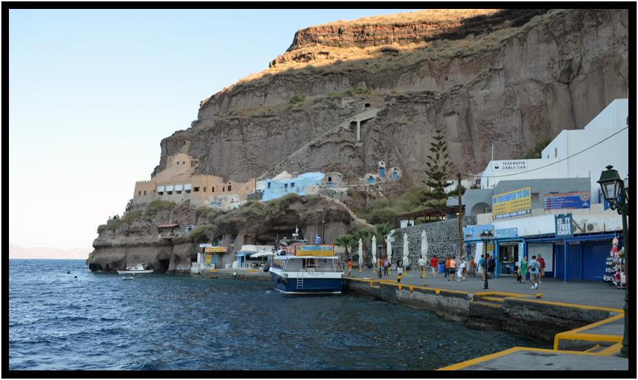
View of the northern end of the dock, Thira, Santorini, Greece, 2013.
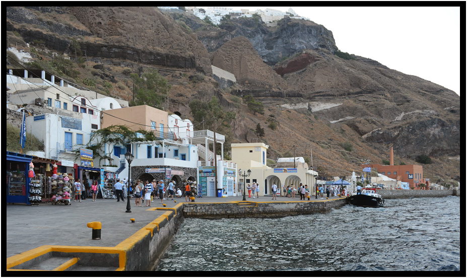
View of the southern end of the dock, Thira, Santorini, Greece, 2013.
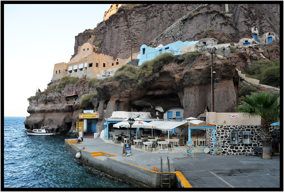
Detail of the northern end of the dock area, Thira, Santorini, Greece, 2013.
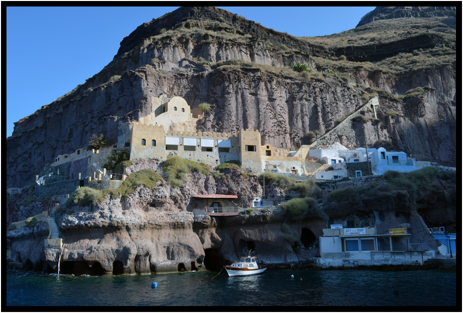
Straight-on view of the cliff dwellings at the northern end of the waterfront in 2013, Thira, Santorini, Greece.
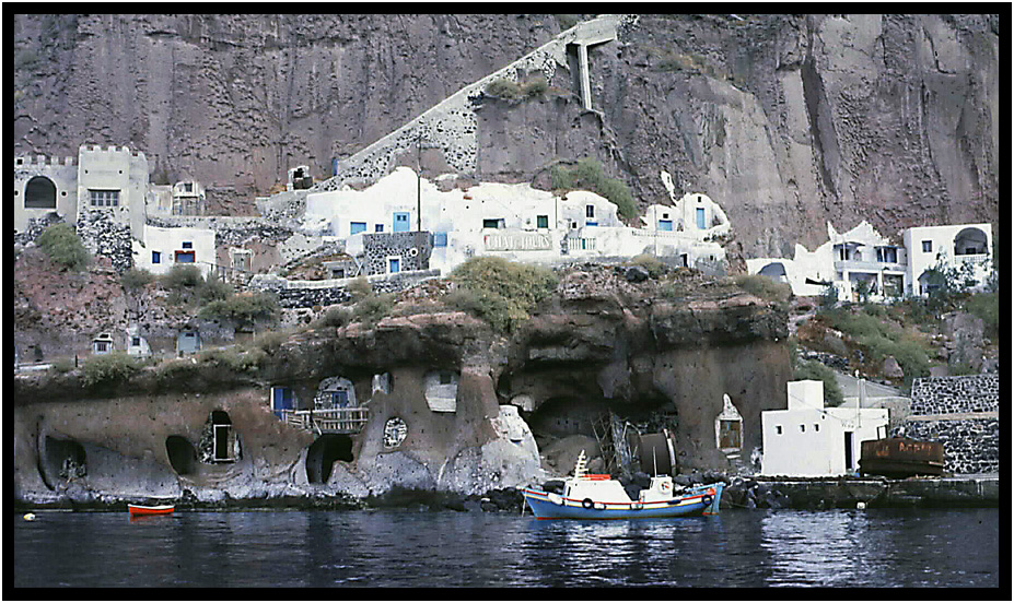
Two different views of the same cliff dwellings in 1984, Thira, Santorini, Greece.
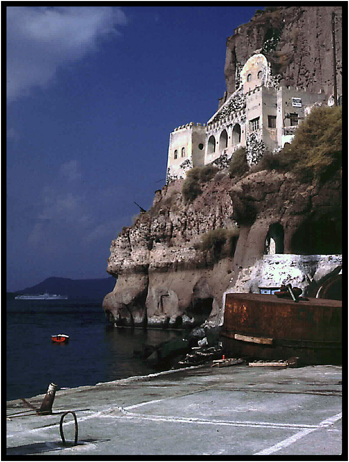
Two different views of the same cliff dwellings in 1984, Thira, Santorini, Greece.
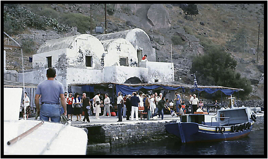
Dock area as it looked in 1984, Thira, Santorini, Greece, 1984.
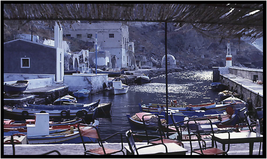
Dock area at the southern end of the waterfront as it looked in 1984, Thira, Santorini, Greece, 1984.
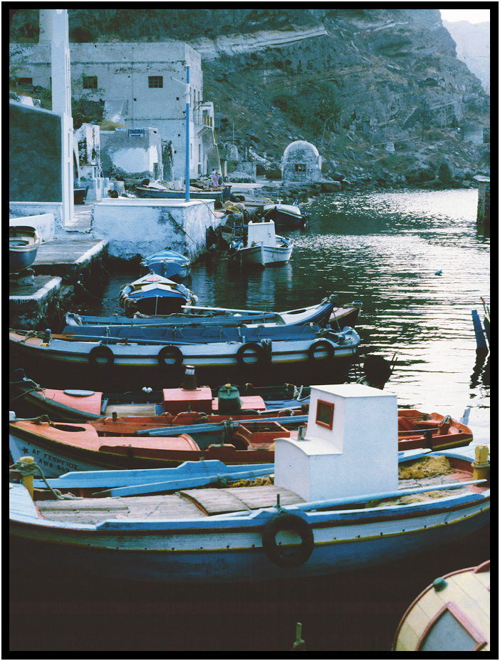
Dock area at the southern end of the waterfront as it looked in 1984, Thira, Santorini, Greece, 1984.
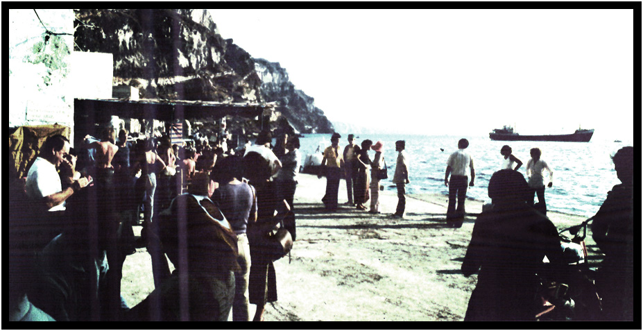
Waterfront dock area as it looked in 1978, Thira, Santorini, Greece, 1978.
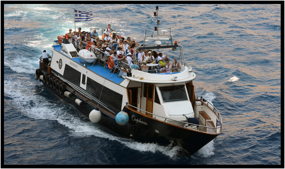
Tendering ashore, Thira, Santorini, Greece, 2013.
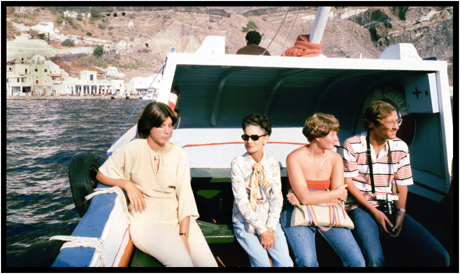
Lynn and fellow cruisers tendering to shore, Thira, Santorini, Greece, 1978.
copyright d. holmes chamberlin jr architect llc
page last revised march 2020


